About Louargat forest
About Louargat forest
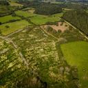

Key information
Project start date: Dec 10, 2019
Certification: PEFC
Land area: 4.28 ha
Social action: none
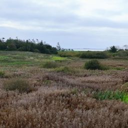
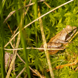
Biodiversity features: wetland, ZNIEFF I
Temporarily closed to the public, the reopening is scheduled on 01/03
EcoTree’s initiatives
EcoTree’s initiatives

Our trees available for purchase
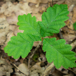
Discover the trees that inhabit the forest, become owners and support their sustainable management
EcoTree’s actions for biodiversity
EcoTree’s actions for biodiversity

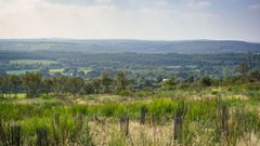
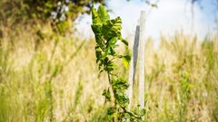
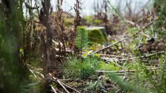
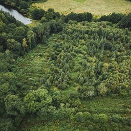
Delve into Louargat Forest
See pictures from the project.
