Project start date: May 2, 2016
Certification: PEFC
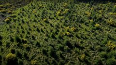
Land area: 11.5 ha
Social action: none
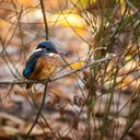
Biodiversity features: type 2 ZNIEFF - 20 beehives - honey hedge
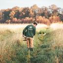
Open to the public: 01/04 to 01/09
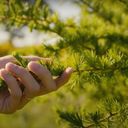
Discover the trees that inhabit the forest, become owners and support their sustainable management
See pictures from the forest.